Geofences
Overview
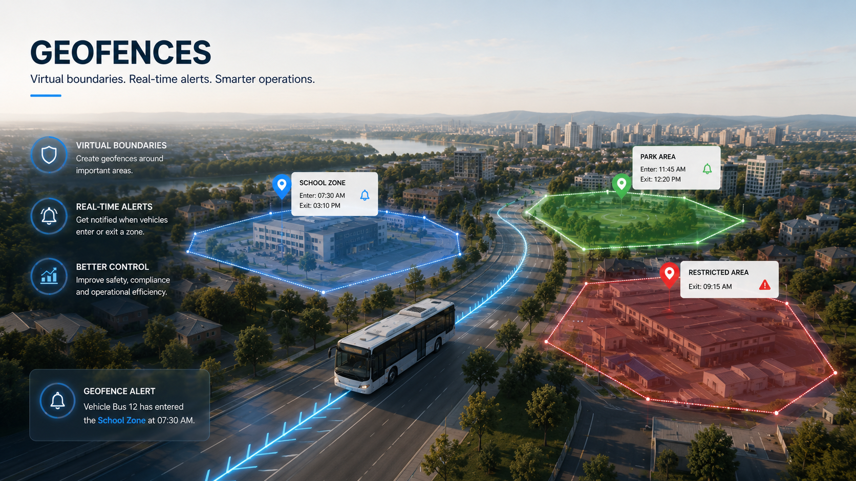
Geofences are custom map areas — polygons, lines, or circles — that NexaBus uses to detect when a vehicle enters or exits a specific zone. Unlike stops, which are simple circles tied to passenger pickup and drop-off, geofences can be any shape and are built for broader monitoring: restricted zones, service areas, speed limits, and more.
Key Features
Draw Any Shape
Use the built-in map drawing tools to place a polygon or line exactly where you need it — around a depot, a restricted district, a school zone, or a delivery territory.
Flexible Zone Rules
Each geofence can carry its own styling and metadata:
- Custom color, line width, and opacity for the map
- An informational speed limit for that zone
- A floor/ceiling altitude range, for zones scoped to a specific building level
- Hide-from-map option for zones that should still generate events without cluttering the live view
Link to Devices, Vehicles, or Groups
Assign a geofence to individual devices, to a vehicle (via its device), or to an entire device group at once — controlling exactly whose movement is checked against that zone.
Real-Time Sync & Alerts
Geofences sync to the tracking server in real time, appear as shaded zones on the live Tracking map, and feed Geofence Entered / Exited events straight into Notification rules and the dedicated Geofences Report.
Benefits
- Restricted-Zone Alerts: Know immediately if a vehicle enters or leaves an area it shouldn't
- Service-Area Enforcement: Verify vehicles stay within their assigned territory
- Speed Zone Awareness: Tag zones with their own speed limit for context in reports
- No Extra Hardware: Pure software — draw a zone once, apply it to any device, vehicle, or group
Why NexaBus Geofences
Geofences turn the map itself into a monitoring tool. Once a zone is drawn and linked, every entry and exit is tracked automatically — no manual checking, no separate system to maintain.